Layers that work together.
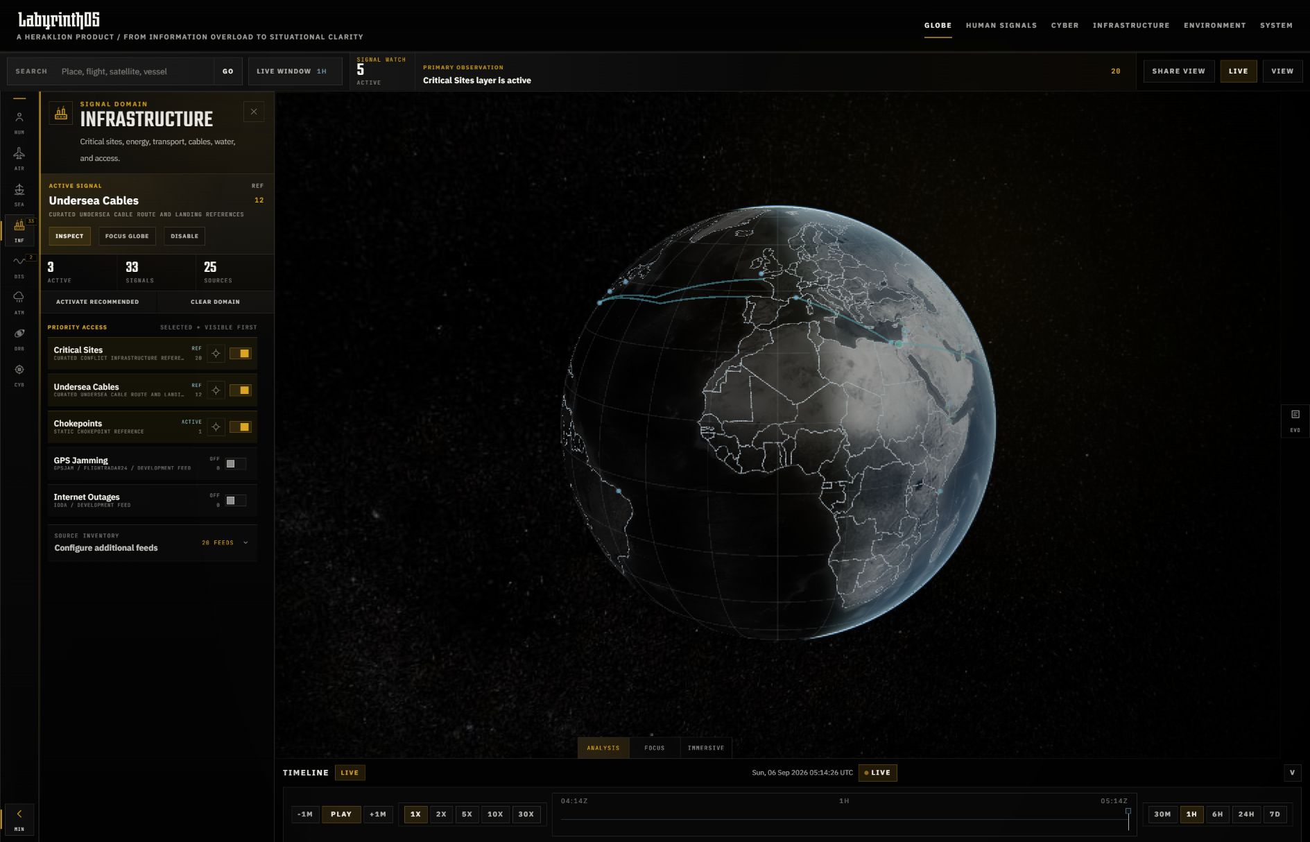
Environmental fields, transportation signals, orbital tracks, and strategic reference layers can be explored in the same geographic view. Search and focused panels keep navigation close to the map.
A globe-first workspace for exploring what is happening, where it is happening, and the evidence behind it. Co-developed with a technical partner, LabyrinthOS brings environmental, transportation, infrastructure, and human signals into one geographic context.
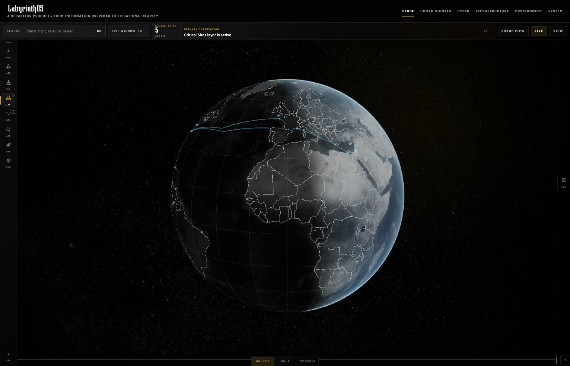
Different sources describe the same world in different ways. Aircraft positions, wildfire detections, weather fields, infrastructure, and reported events arrive at different cadences and with different levels of certainty.
The design challenge is to make those relationships explorable while keeping the source, timing, and limits of the evidence visible. Geography provides the shared frame; focused controls and an evidence inspector provide the detail.
Environmental fields, transportation signals, orbital tracks, and strategic reference layers can be explored in the same geographic view. Search and focused panels keep navigation close to the map.
Source attribution, update cadence, and health states help distinguish fresh observations from stale, degraded, or unavailable feeds. Reported events retain their original-source context.
Timeline controls support review of persisted observations and field snapshots. Shareable views preserve the camera, selected layers, and time context so another person can pick up the same view.
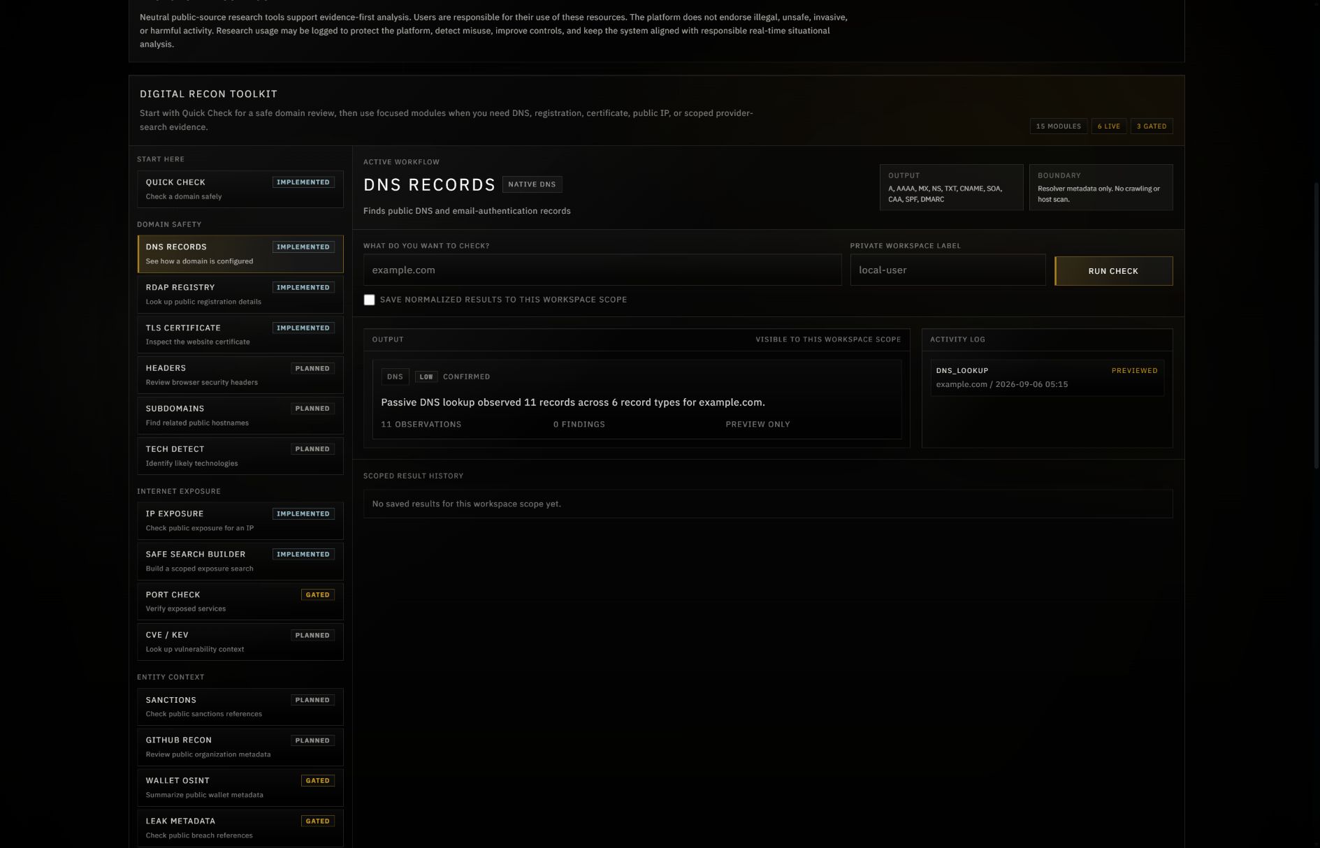
The research workbench adds tools for public DNS, domain registration, certificate metadata, and passive IP context. Research history is scoped to the submitting user or session.
That extends the product’s central idea: keep observations connected to their origin, make the evidence inspectable, and keep uncertainty visible as someone investigates.
A useful geospatial interface depends on more than rendering a globe. Viewport-scoped data handling, normalized observations, source attribution, and append-only history support the experience underneath it.
Recent engineering work also establishes a separate Signals API foundation: versioned contracts, source governance, scoped access, and a typed client. It is still in development, with live-source admission and production rollout ahead.
This is collaborative work. LabyrinthOS is co-developed with a technical partner under Heraklion. It reflects my interest in connecting expressive interfaces with the engineering needed to make complex information usable.
App captures from the local development build, September 2026. Data availability depends on configured sources. Screenshots document the interface as the product continues to develop.
Go deeper into spatial storytelling